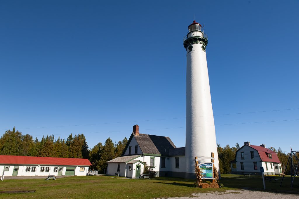
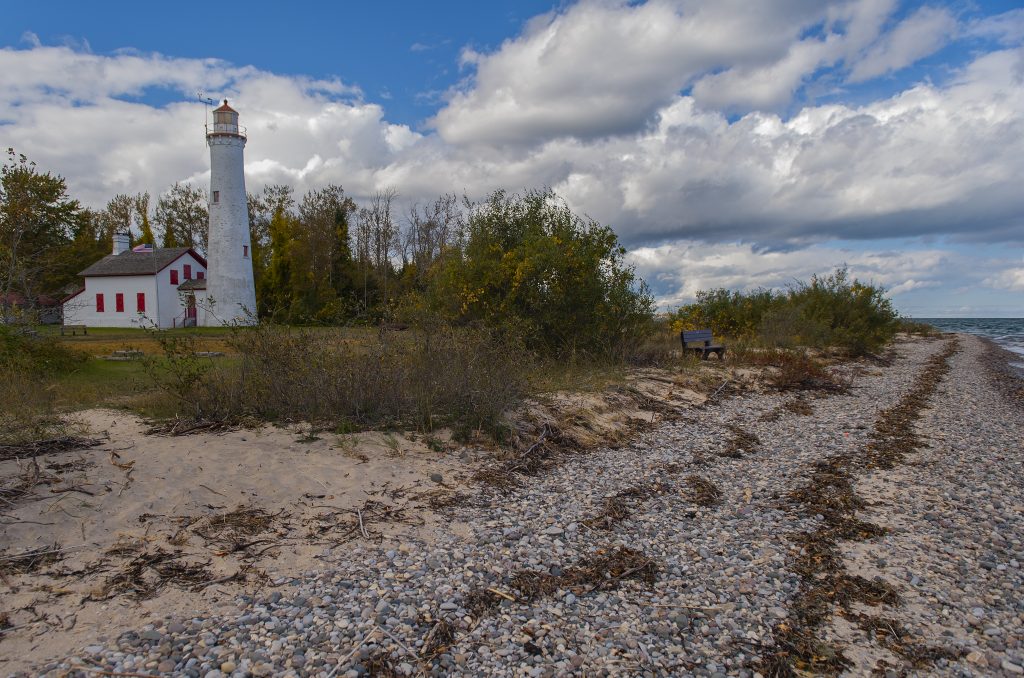
I was excited to visit some of the lighthouses on the Upper Peninsula trip this year. These are by no means all the lighthouses available to visit, and, in fact, some are not available to the general public as they are privately owned. Some have been turned into bed-and-breakfast lodgings and others are off shore on a shoal or an outcropping of land that is only reachable by watercraft. One such lighthouse is the East Channel Light along the Pictured Rocks National Lakeshore (PRNL) outside of Munising, and access is only available by the tour boats or private craft. It was my favorite.
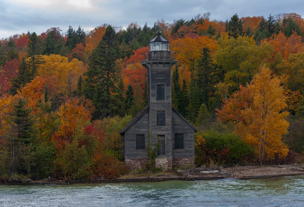
There are basically two types of lighthouses here that you will see. One type is the typical round tapered tower, which is familiar to most. You will also find the integrated light, which is part of another structure or house. Some refer to them as schoolhouse lights. Then there are the plain, unattractive, and generally non photogenic generic skeletal beacons which are made up of some metal angle irons or channels and have a light perched on top. These might generally be found on the end of a harbor jetty.
Marquette was another favorite of mine, mostly because of the surrounding shoreline which was easily captured with the light in the background. Add to that the nice morning sky and you have some great features for photo.
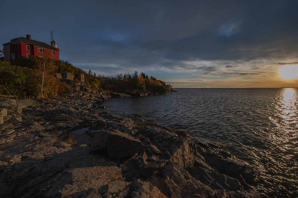
It rained a lot on this particular trip and photography was a bit challenging from time to time. Our time at the Eagle Harbor Lighthouse was a definite challenge as the waves were hitting the shoreline and throwing spray, and the wind was pretty brisk. Add some cold to that for extra challenge. Skies were also not very pretty, but the light was.
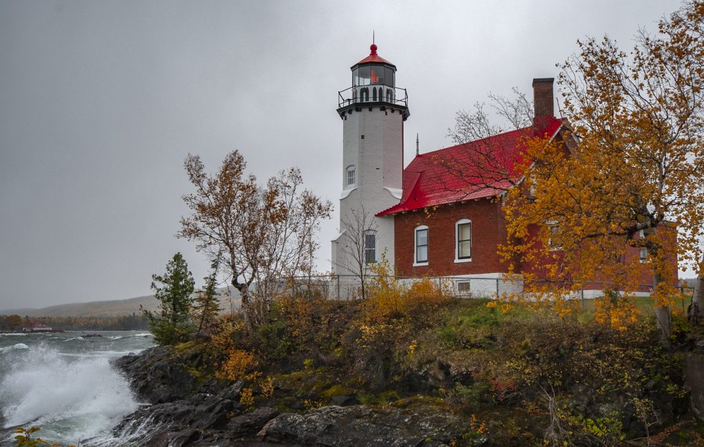
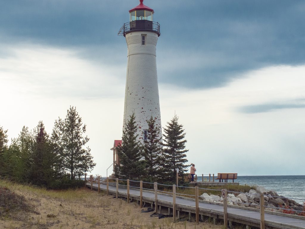
The Upper Peninsula is full of nice surprises, however, there can be some not so nice ones as well. On one occasion we set out for a lighthouse that we all wanted to see and sort of had a time table for the visit. That was wishful thinking. Even though a lot of the roads we drove were not paved, they were, for the most part, amazingly smooth and driving at 50MPH was not out of the question. The road to Crisp Point began in such a fashion, but the last 8 miles of the approximately 20 mile drive was performed at a very slow, bob and weave pace as we concentrated on dodging some nasty pot holes and deep ruts. Even though the smaller imports were making the trip, I would not have taken a small car into this place. All that said, it was a rewarding experience and the shoreline and light were a sight to behold, even in the cold dark skies of a Superior autumn.
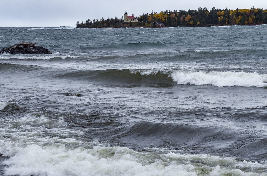
One disappointment came when, up early to make sure we caught all of our intended targets, we arrived at our first stop – the Copper Harbor Lighthouse – only to discover that there was no close access to the light. We ended up having to photograph the lighthouse from across a bay at the top of the Keweenaw Peninsula, from Fort Wilkins State Park overlook. It was not the optimum way to view the light, but it was what it was.
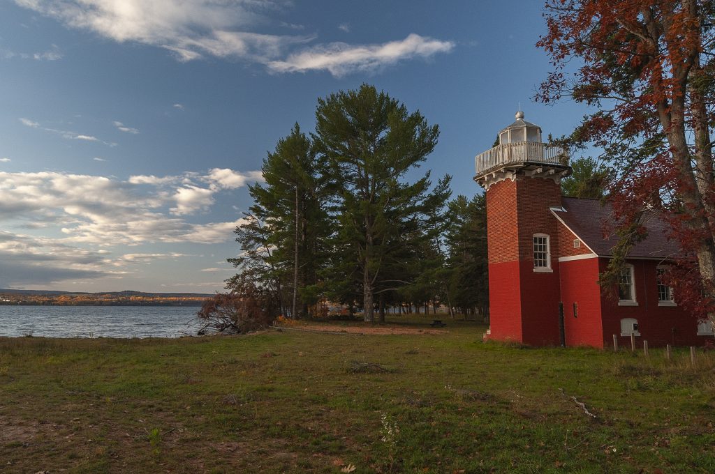
Sand Point Lighthouse is located between the Ojibwa Campground and the Michigan Natural Resources Department on US 41. You can drive right up to this one and there are a number of good views here. It’s a nice light in good repair.
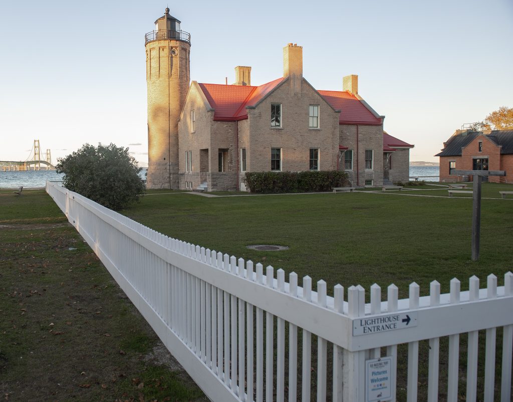
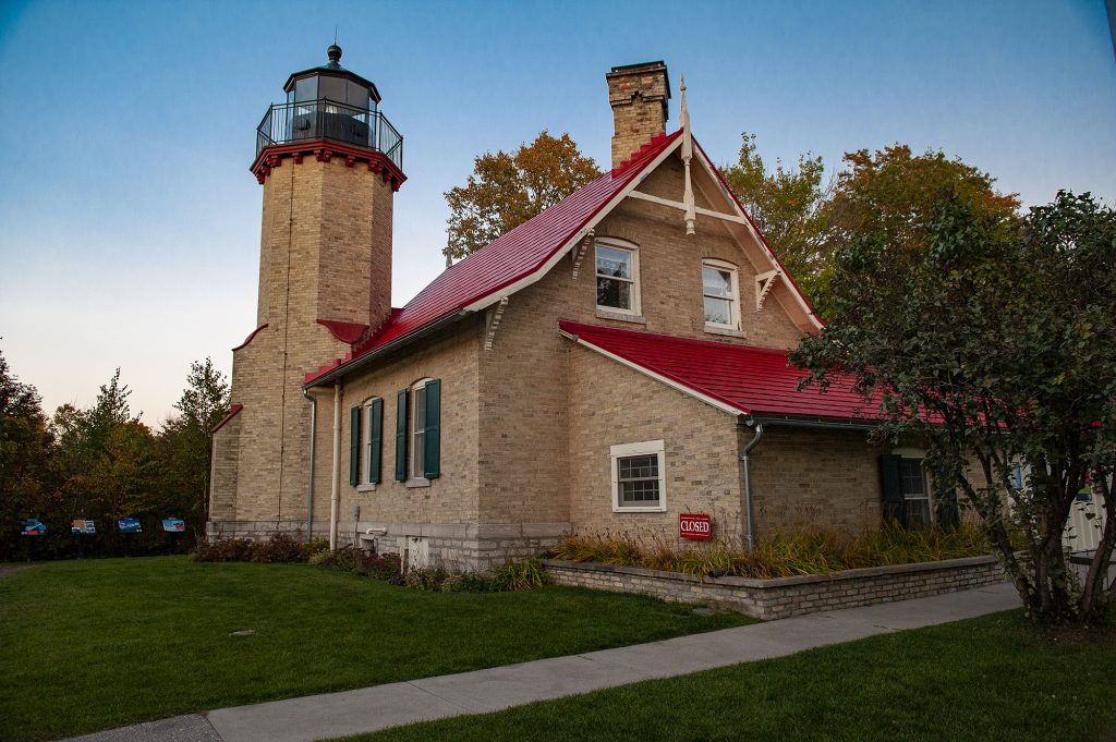
Old Mackinaw Point Lighthouse was the first visit of our tour, being at the southern entrance to the Mackinaw Bridge and the way into the UP. It’s quite an impressive lighthouse and one of two in the area, the other being McGulpin Point Lighthouse. We managed to drive from home in Cincinnati and hit both lights at sunset before dining on evening pizza at our hotel.
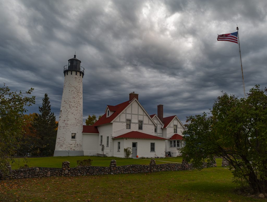
I found Point Iroquois Lighthouse to be particularly interesting, given it’s location, size and manner of construction. It was also located very close to the shoreline, which made for some interesting photos with shoreline interest included, however, I defaulted to the front view here. I liked the flag.
Presque Isle is another of the more powerful tower type of lighthouses. Located back from the shoreline, it stands taller than most, as it reaches over the tree line to show it’s beam to the mariners at sea.
